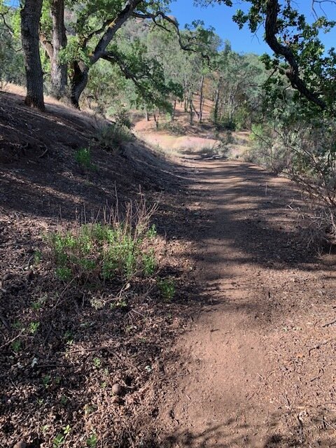
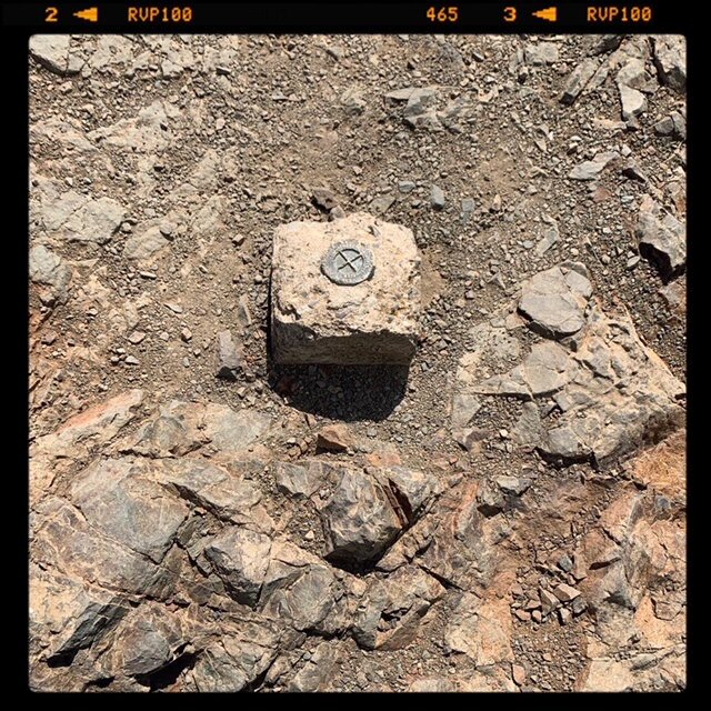
The Summit Marker on Mt Diablo 3,848′
Mt Diablo anchors the geography of the East Bay metropolis and Contra Costa County. Mt Diablo and its associated peaks and surrounding valleys were called Tuyshtak by the first people there, the Volvons.
Folks from SF and Oakland use the peak as a sightline from the West, the same with San Jose from the south, Mendocino from the North, and folks as far as the lower Sierra uses it as a sightline the East.
Mt Diablo has been a beacon for people from before California was colonized.
My Mt. Diablo Hike
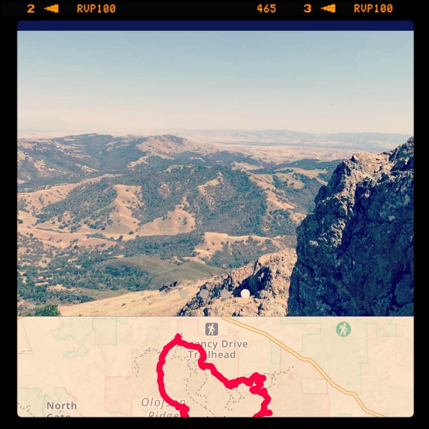
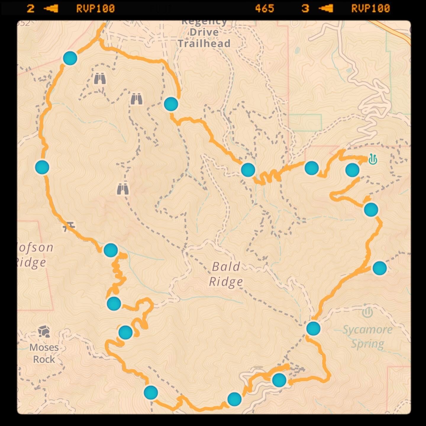
Yesterday I hiked a 15-mile loop from the Mitchell Canyon trailhead in Clayton around to the Olympia Peak, North Peak, to Mt. Diablo Summit, and back down to the trailhead.
Many of the details of the hike itself can be seen in my Gaia GPS record:
https://www.gaiagps.com/public/HfBSpyz7Gufn7W2PrhH1OsrK
This Gaia GPS record is interactive and may be useful for folks looking to see some of my waypoints on the hike.
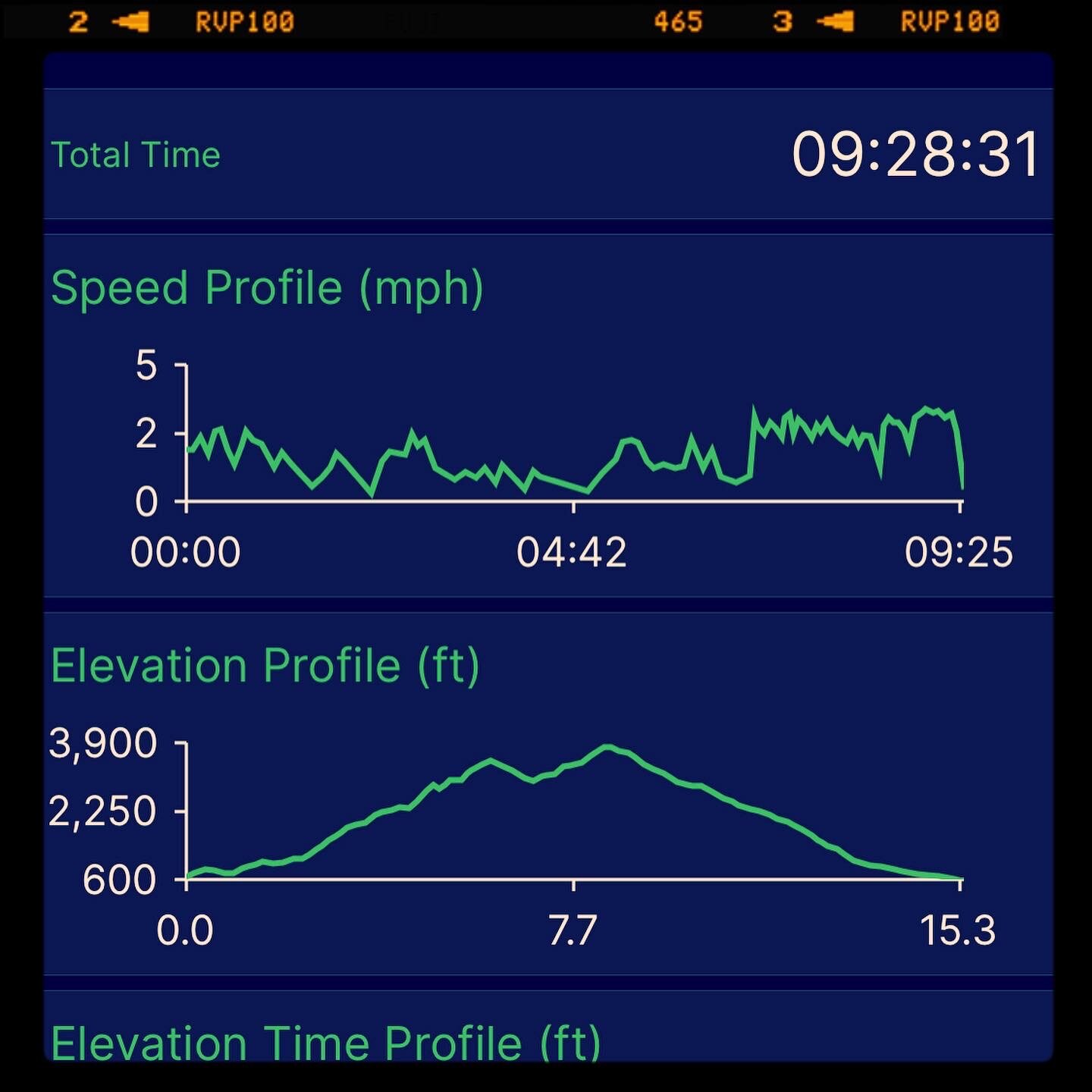
The basics:
15.4 mi Distance
7 hrs 49 min Moving Time
36:53 min/mi Pace
9 hrs 28 min Total Time
1 hrs 38 min Stopped Time
2.0 mph Moving Speed
1.6 mph Avg Speed
3,776 ft Ascent
3,870 ft Descent
Different trails for different kinds of folks all across the terrain…
I noticed how mountain-biker-friendly much of the loop seemed to be. The sections between Olympia and Summit and a few paths through the middle between Bruce Lee trail and Meridian trail are not. But I'd estimate well over 50% of the trails were mountain-biker-friendly. The paths, while often steep, are quite wide and, with the right equipment, largely accessible...making it a wilderness unusually inclusive in its access for all types of people.
On this note, once I made it to the summit, I noticed the Mary Bowerman Trail, a fully accessible trail the runs a quarter of a mile across the face of the summit. The trail has spacious accessible parking directly aside from the trailhead. According to the accessible state parks site, “ The trail is generally flat at less than 5% slopes with one section at 6% for 22 feet.”
In contrast, near the Mary Bowerman Trail’s terminus is a trail, I suggest NO HUMAN use (except well-trained climbers/runners) — the “Death Slide” trail. Death Slide runs from the summit down to Prospectors Gap. A shortcut, yes, but what you cut off in the distance by avoiding switchback, you gain in the probability of injury.
Accessibility is one dimension of “wilderness” — as is the responsibility of acknowledging this as Volvon land. Wilderness is problematic across another dimension as well — who can “afford” a summit. Who gets to “experience” a summit. Many outdoorsy folks consider a detractor of Mt Diablo: you can drive to the top. From another perspective, this drive grants access to the larger metropolitan population to appreciate its history and the wilderness experience.
This has always been an issue. Is modern wilderness a “white” enterprise? The diversity of the bay area, the accessibility of Mt. Diablo, how Mt Diablo calls people of all types to make its role anew.
I’ve worked to help organizations that help connect kids to their food and nature in my past. I did a tiny project for a fantastic organization called Slide Ranch. Slide Ranch is an educational institution based on a ranch on the cliffsides of Marin: “The mission of Slide Ranch is to connect children to nature.” Slide Ranch has had 1000s of kids over the years from San Francisco, Oakland, and other urban environments visit them. I was also lucky to work on a small project for Vida Verde — a similarly awesome organization with a mission to reconnect kids to the land, kids who otherwise would not have the opportunity.
What role could Discovery Bay, my hometown in the eastern shadow of Mt. Diablo, play? Can we in all our agricultural and natural bounty play some role in helping folks access agricultural or wilderness experiences?
Walking
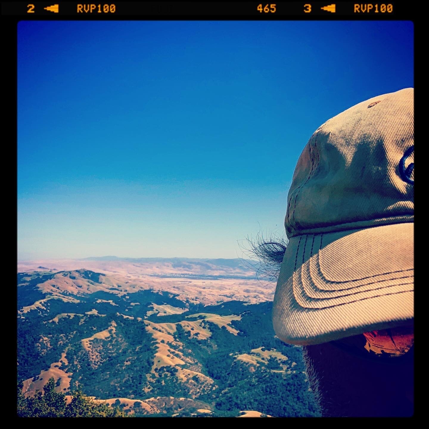
On my hike, the feeling of putting miles on the body is a restorative experience. The act of walking and walking and walking is hypnotic. I am not in particularly good condition … and the first hour of most of my hikes I’m feeling pretty worried. It takes me a good hour to feel myself. Until that first hour passes, I am breathing hard, I have pain in all my joints from my toes and ankles to my shoulders and arms. That said, as I just keep on walking, I knock the rust off, and I find I can just keep putting one foot in front of the other. I’ll never break any speed records but I do find myself in a kind of flow state — not peaceful so much as a state of acceptance. A very real, I’m here now and just walking. It sounds like this:
Mt Diablo Walking 1
The Sounds of Walking
The video is nice but there is also something about the percussion of walking.
Such walking is a privilege I am grateful for. Experiencing nature, is it exclusive? Or should nature, the experience of the natural world, the wilderness be considered a kind of prosperity — akin to how, perhaps, the Volvon perceived it? Can the natural world and a place like Mt. Diablo become a beacon of inclusive proposerity?
Wildflowers:
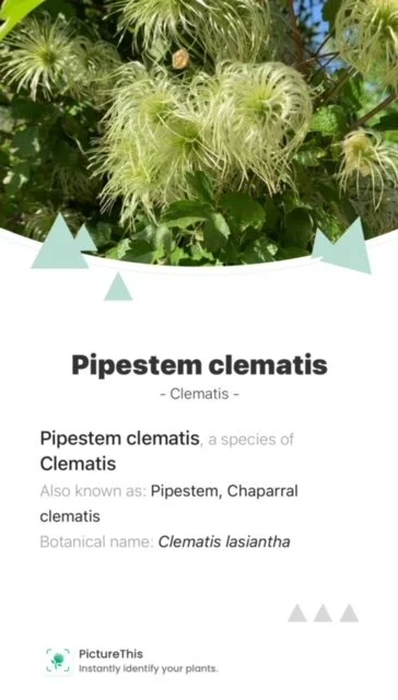
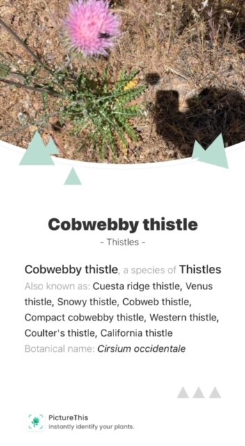
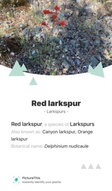
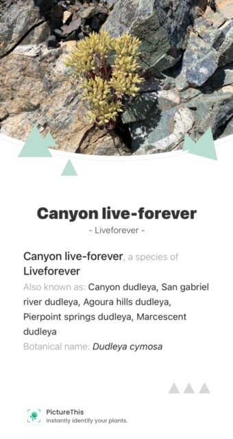
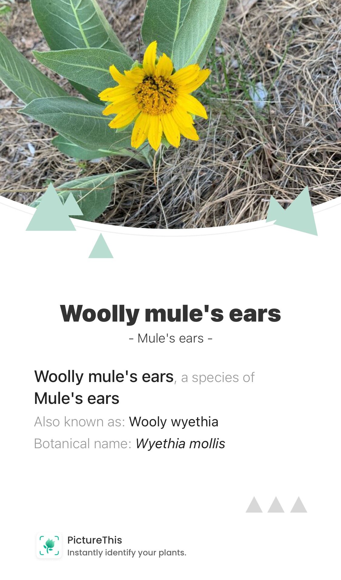
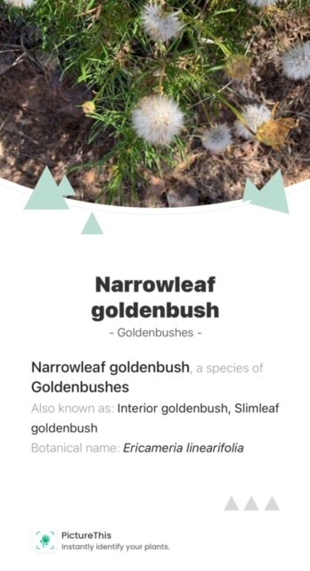
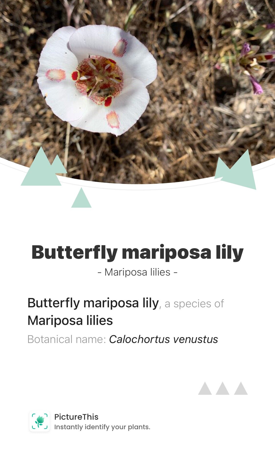
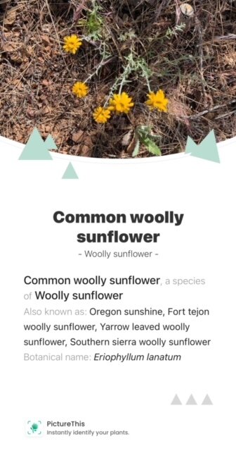
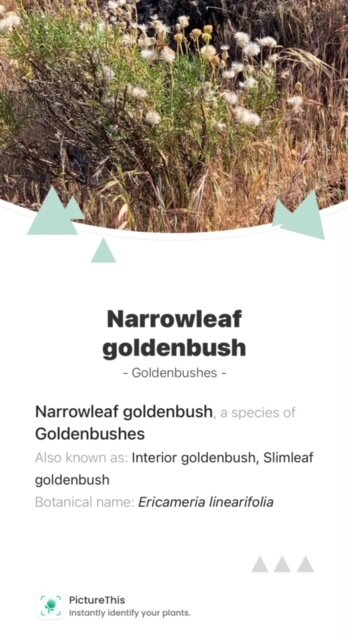
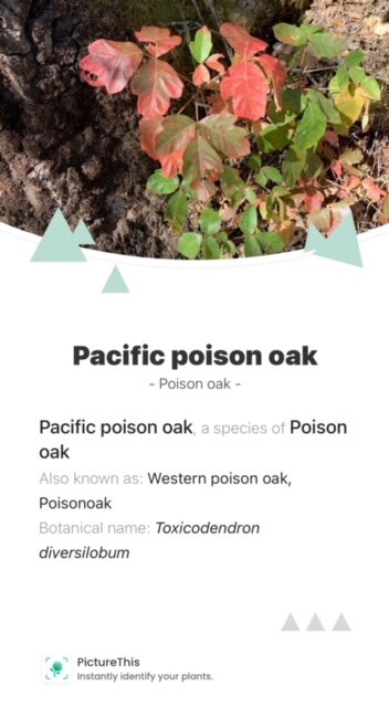
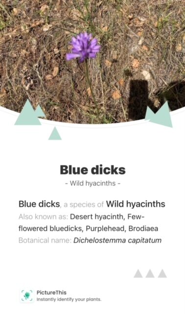
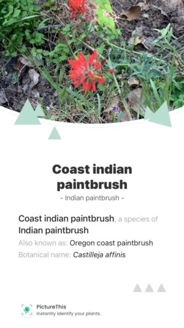
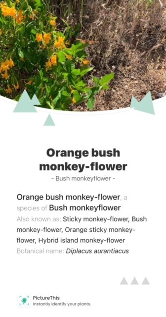
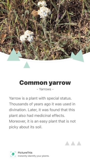
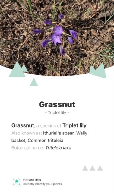
All this said the “real real”…the butterflies and wildflowers of the trails were the superstars of the day. I can’t highlight how the trailside burst with colors and varieties all day long at every elevation. Certainly I saw skinks and fence lizards, crows and buzzards, quail and jays, and the occasional deer and turkey — but really what linked very step of the loop were the wildflowers and butterflies.
I took a few pictures while on the move. I used PictureThis to identify them. Here are just a few of the plants and wildflowers that caught my eye:
Butterflies
I’m sure there must be a rule against writing about butterflies. They are loaded with too much echoic nonsense associated with Hallmark cards and commercially funded sentiment. Still, I dare you to walk through a patch of a meadow where butterflies surround you, and a few land on your shoulder or hat or arm or leg and not experience a childlike thrill. The entire loop I hiked felt like this as they dilly-dallied around me all day long — seemingly ignoring me as a threat and going on about their business.
Many shapes. and sizes and colors — and I’m assuming many were moths proper not butterflies — and here is one that caught my eye:
One of many, many…
Mt Diablo on YouTube
There are many great YouTube videos of hiking Mt. Diablo but one I like because it’s both very authentic and it represents my experience with people on Mt Diablo. Is this one called “Mt. Diablo State: Park Waterfalls Hike 2021, Mitchell canyon, Donner Canyon, Meridian Trail, Bruce Lee,” from Unfolding with Grace channel Published on Feb 8, 2021.
See: https://youtu.be/KBms__K6aHQ
Mt Diablo is not the exclusive domain of 30 something white guys — they are out there too — but the demographics of Diablo in this video signify how and why things might be different out there…
Bruce Lee Trail
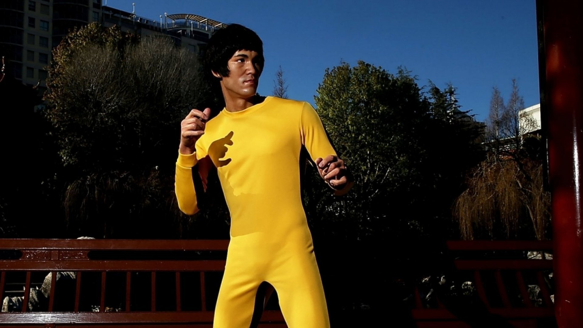
No consideration of Mt Diablo starting from Mitchell Canyon trailhead is complete without noting one must start from the Bruce Lee trail. Who would not want to hike the Bruce Lee trail?
Some other Resources:
Cultural History of Mt Diablo Strate Park: https://www.mdia.org/history-of-mount-diablo
California State Parks and Recreation, Mt Diablo: https://www.parks.ca.gov/?page_id=517
Save Mount Diablo: https://www.savemountdiablo.org/
Accessible Features in State Parks, Mt. Diablo, Mary Bowerman Trail: http://access.parks.ca.gov/parkinfo.asp?park=60&type=#:~:text=The%20Mary%20Bowerman%20Trail%20is,views%20of%20the%20surrounding%20landscape.
Slide Ranch: https://www.slideranch.org/
Vida Verde: https://www.vveducation.org/
Mt. Diablo Wildflower Guide: https://www.mdia.org/wildflower-guide

